November 5, 2026
As low-lying communities around the world face rising seas, the West Greenlandic community of Aasiaat is facing a different problem—sea levels are projected to fall 0.41 to 0.93 meters by the end of this century.
While global mean sea level is projected to rise 0.28 to 1.01 meters by 2100 CE, Greenland’s sea level is expected to fall by 0.9 to 2.5 meters within the same period, with significant variations from community to community.
“There isn’t nearly as much dependence on road travel as there is on boat travel, because every community is a coastal community,” said Kirsty Tinto, Lamont Associate Research Professor at Lamont-Doherty Earth Observatory at Columbia University. “So sea level falling in a marine-based navigation environment is as disruptive as sea level rising in a land-based navigation environment.”
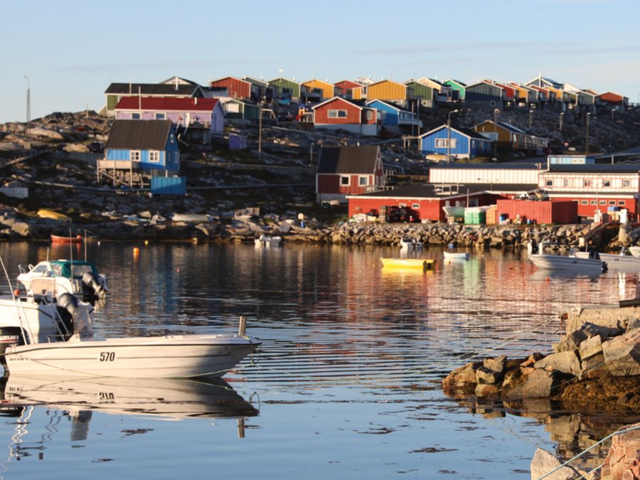
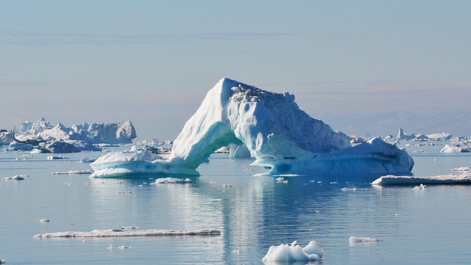
While global mean sea level is projected to rise 0.28 to 1.01 meters by 2100 CE, Greenland’s sea level is expected to fall by 0.9 to 2.5 meters within the same period. (Credit: Karl Zinglersen)
In Aasiaat, a community of approximately 3,000 residents, life is closely intertwined with the ocean and dropping sea levels could impact plans for coastal infrastructure, harm intertidal ecosystems and nutrient cycles, make existing navigational channels inaccessible during low tides, and create new island and marine navigational hazards.
This projected drop is due to the Greenland Ice Sheet, which contains 2.9 million cubic kilometres of ice. As the ice melts, the land under it rebounds as a result of glacial isostatic adjustment. Tinto likens it to a sofa cushion rising up again after someone stands.
Additionally, since the ocean is gravitationally attracted to the ice sheet due to the ice sheet’s mass, a reduction in ice mass also reduces this impact, causing sea levels to drop.
“Once that ice melts, you have the two things happening,” Tinto said, “the land is going up, but also the ocean water itself is receding a little bit from the edges, because there’s less attraction drawing it in.”
Tinto and colleagues, including researchers from the Greenland Institute of Natural Resources (GINR), came together to investigate sea level change in Greenland and what these changes may mean for Aasiaat and other communities, with their findings published in PNAS.
Since the Greenland Ice Sheet covers approximately 80% of Greenland’s landmass, most residents live in coastal communities. Their lives are closely linked with the ocean, which they utilize for hunting, fishing, recreation, and travel.
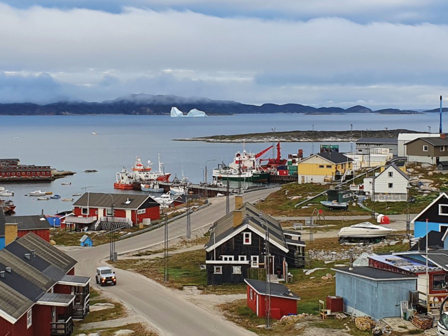
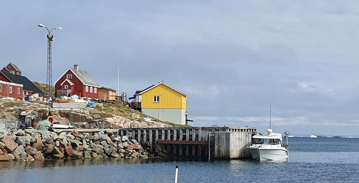
Sea level falling in a marine-based navigation environment is as disruptive as sea level rising in a land-based navigation environment. (Credit: Karl Zinglersen)
Engaging with local communities was a key part of this work, as researchers and residents collaboratively designed the study, gathering observations from local residents and identifying areas of importance to the community to guide modelling efforts.
Sea level change can be highly location dependent, with the geography and physical characteristics of an area causing variable impacts between locations. Recognizing this, the research team sought to measure the current sea level in locations that are important to the community, including its two harbours.
A larger harbour receives marine traffic, while a dinghy harbour serves as a storage location for personal boats.
The researchers worked with local hunters, fishers, and other residents to identify which areas are important, such as harbours, areas with coastal infrastructure, and key hunting and fishing grounds. They found that the harbour areas rarely have depths greater than 50 meters, with shoreside areas often only two or three meters deep. These shallow-water areas face the greatest percentage changes in depth, so researchers gave them special attention in the study.
Once they gathered measurements and mapped the seafloor, the researchers shared their findings with local residents, providing printed maps and a digital version with the Avenza app, which allowed access on mobile devices.
“We looked around to find places where people would be impacted by changing sea level, finding a place where there was a strong human presence and clear evidence of already shallow water meant that this was a very good place to start this conversation,” Tinto said.
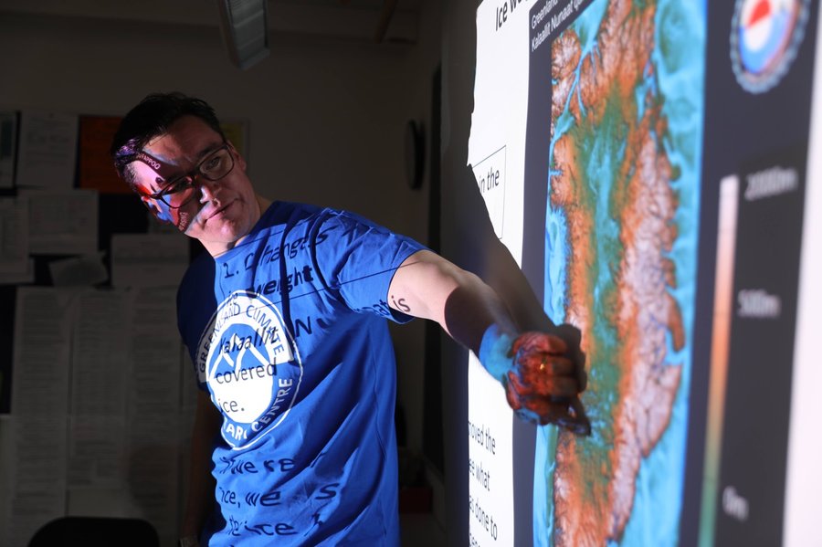
Researchers and residents collaboratively designed the study, gathering observations from local residents and identifying areas of importance to the community to guide modelling efforts. (Credit: Karl Zinglersen)
The research team found that one important location for residents is Nivaaq Channel, a safe route used to connect small communities with larger hubs, like Aasiaat and Ilulissat. It may become inaccessible to smaller vessels during certain tidal conditions.
If the Channel becomes impassable, small craft will be forced to travel into the hazardous waters of the open sea. New navigational obstacles and islands may also pop up as the water drops, creating ever-changing hazards.
Furthermore, coastal infrastructure, including the industrial port that is used for activities like fishing, offshore exploration, and tourism, could also be at risk, and harbours could become inaccessible to some boats with deeper drafts. Additionally, intertidal habitat could disappear as falling water levels make some areas unsuitable for local species, creating a cascade of impacts that would work its way up the food chain.
Gathering as much information as possible can help communities decide how to move forward and develop effective mitigation strategies. In areas where waterways may become too shallow, communities could potentially use techniques like dredging or blasting to create deeper channels, or opt for alternate navigational routes.
The researchers noted that more studies are needed to better understand projected changes, as there are uncertainties in future predictions.